- BIST10011,483+1.32%
- USD50.07+0.05%
- EUR55.96-0.52%
- GOLD4,074.90-0.94%
- INTEREST36.00%-1.00
- BITCOIN75,704-0.07%
- November 8, 20267°
- BIST10011,483+1.32%
- USD50.07+0.05%
- EUR55.96-0.52%
- GOLD4,074.90-0.94%
- INTEREST36.00%-1.00
- BITCOIN75,704-0.07%
- November 8, 20267°
U.S. intelligence report accuses Iran of jamming GPS and taking war into space
The U.S. Defense Intelligence Agency said Iran used ground-based jamming systems to weaken satellite navigation signals during the war and remains an “emerging” space power despite strikes on its facilities. The report coincides with widespread interference affecting ships and aircraft in the Gulf and the Strait of Hormuz since the war began.
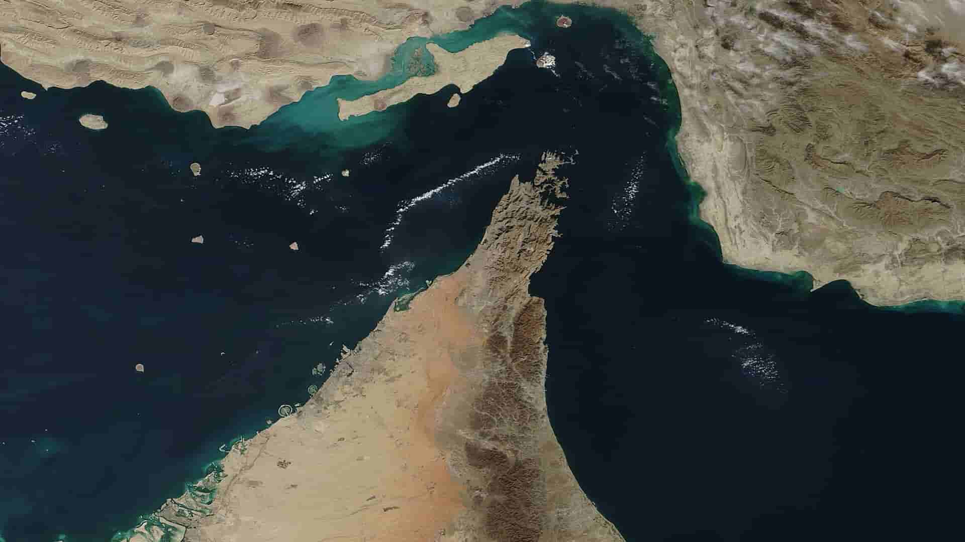
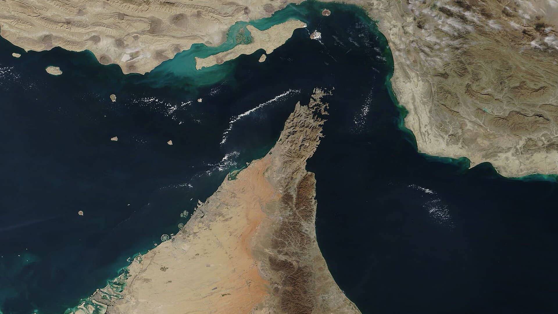
A report by the U.S. Defense Intelligence Agency (DIA) found that Iran resorted to electronic warfare and jamming Global Positioning System (GPS) signals to disrupt U.S. space operations during Operation Epic Fury, the U.S. military campaign against Iran that began on February 28. Axios reported Thursday that the report considers Iran an “emerging” space power despite U.S. bombing that targeted its main space facilities.
The report says Iran possesses multiple ground-based jamming systems capable of weakening the performance of the satellite-based GPS system. The agency’s report on space security challenges, issued in late October, identifies three of them as “Nazir,” “Fajr-3” and “Zolfaghar,” and notes that several parties reported disruptions to navigation systems near the Strait of Hormuz in June, affecting aircraft and ships. The U.S. Department of Transportation warned in September of “significant” interference and outages affecting satellite navigation signals in the strait.
Ships appear over land
Navigation in the Gulf has been affected by this interference since the early hours of the war. During the first 24 hours, maritime data analytics company Windward detected more than 1,100 ships affected by GPS signal interference and at least 21 new jamming hotspots. Ships appeared on tracking systems as if they were at airports in the United Arab Emirates, above the Barakah nuclear power plant or inside Iranian territory, while the location of a supertanker waiting to load off Qatar shifted to six different land locations in a single day.
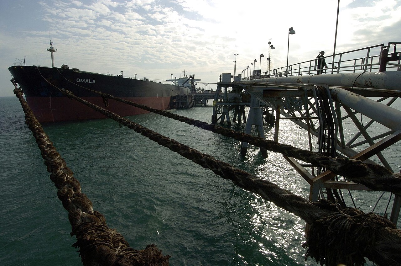
On March 10, the MarineTraffic platform detected a pattern of location spoofing that began off Ras Al Khaimah, making ships appear to be sailing in straight lines toward the Strait of Hormuz even though they were not following those routes. More than 600 navigation-system disruption incidents were recorded within 24 hours in the area of operations of the Joint Maritime Information Center (JMIC), according to gCaptain. The strait is about 33 kilometers wide at its narrowest points, making accurate positioning crucial to avoiding collisions or groundings, according to Anna Subasic of shipping data company Kpler.
Civil aviation also affected
The impact is not limited to ships. Rafael Munshtein, co-founder of SkAI Data Services, told Foreign Policy that interference with navigation systems “used to happen occasionally, but now it is almost constant,” adding that pilots are receiving warnings during preflight briefings about the possibility of jamming. Pilots have to verify their aircraft’s positions manually, increasing their workload as some airlines resume flights to and from the Gulf. Experts say the interference in the region does not come from a single party, as several sides use it to keep drones and missiles away, while civilians bear the cost.
An “emerging” space power despite the strikes
In March, U.S. Central Command commander Admiral Brad Cooper announced that U.S. forces had struck what he called Iran’s equivalent of a “space command” and that the United States had achieved “space superiority” over Iran. Analysts, however, question that assessment. Todd Harrison of the American Enterprise Institute told Axios that Washington does not have superiority over Iran as long as Iran can disrupt U.S. space capabilities. Kari Bingen of the Center for Strategic and International Studies said Iran has capabilities that make it more difficult for the United States to use space, but stressed that its space assets are very limited compared with those of the United States, China and even Russia.
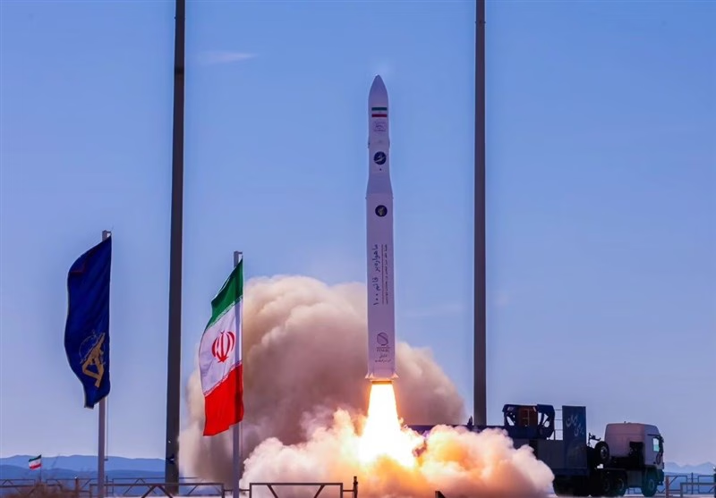
Iran has about 12 operational satellites, according to data from the American Enterprise Institute, compared with more than 1,000 times that number operated by the United States. According to the Defense Intelligence Agency, Iran’s Defense Ministry launched three satellites into low Earth orbit in 2024, in the first successful flight of the Simorgh rocket. An analysis of satellite imagery published by the International Institute for Strategic Studies (IISS) in October showed damage to two space-launch sites in Semnan province caused by U.S. and Israeli strikes. One belongs to the Iranian Space Agency and the other to the Revolutionary Guard.
Chinese eyes and Russian rockets
Iran’s program relies on external support. According to a separate report submitted to the Pentagon, Iran purchased a Chinese spy satellite that helps it identify targets on the ground. In May, the U.S. State Department sanctioned three Chinese companies for allegedly supplying Iran with satellite imagery that enabled it to attack U.S. forces in the Middle East. Russia launched two remote-sensing satellites for Iran in 2022 and 2024, followed by further launches with Russian support in 2025, including a Soyuz rocket launch from the Vostochny Cosmodrome in December carrying three Iranian satellites: “Paya,” “Zafar-2” and “Kowsar 1.5.”
Tehran, meanwhile, is seeking to protect itself from the same jamming weapon. The agency says Iran is focusing on making its guidance and navigation systems more resistant to cyberattacks. Iranian Deputy Minister of Communications Ehsan Ghetsaz praised the accuracy of China’s BeiDou navigation system after the June 2025 war, according to Xinhua, while Jack Hidary of SandboxAQ told CNBC that there is “evidence” Iran can access the system, giving it greater accuracy in missile strikes and target identification.
Cover image: NASA (MODIS). Photos: U.S. Navy, Tasnim News Agency
Stay Updated with Hilal Times
Subscribe to be informed about special news, developments and announcements. We will keep you informed.
By signing up, you agree to our Privacy Policy